Facebook
 X
 Pinterest
 Copy Link
01
New construction
Newly completed or actively marketed builder homes, including properties that may be ready now and homes still under construction.

Explore new homes for sale in Anacortes, WA, including new construction, recently listed homes and move-in-ready properties on Fidalgo Island.
Start with current listings, then compare locations, utilities, waterfront and view considerations, regional travel and other details that can materially affect your decision to buy a home in Anacortes.
Buyers use the phrase in several ways. Separating the options makes the search more useful and reduces time spent sorting through homes that do not match your timing or goals.
Newly completed or actively marketed builder homes, including properties that may be ready now and homes still under construction.
Existing or recently built homes that have newly entered the market. The primary property search is sorted so newer activity rises.
Homes of any age that may meet a buyer’s condition and timing requirements without waiting for a construction schedule.
These links use live Windermere Whidbey property-search filters and exclude pending listings. Confirm important property features and location details before relying on a listing description.
The best search starts with how you want the property and location to function—not simply a neighborhood name.

In-town locations can provide more direct access to downtown businesses, the waterfront, parks, medical services and community facilities. Compare parking, traffic, lot size and the condition of older systems.
Newer subdivisions may offer contemporary layouts, attached garages and lower-maintenance finishes. Compare builder terms, HOA documents, completion status, lot orientation and nearby development plans.
View direction, tree growth, neighboring parcels, weather exposure and long-term development potential can matter as much as the view shown in listing photos.
West-side settings can appeal to buyers interested in marina access, Washington Park and coastal views. Compare slopes, wind exposure, access routes and property-specific shoreline or bluff conditions.
Larger or more wooded properties may offer privacy and space while requiring closer review of wells, septic systems, private roads, drainage, broadband and ongoing land maintenance.
An Anacortes mailing address or property search can include homes outside incorporated city limits. Verify jurisdiction, zoning, utilities, permitting authority and emergency services for every address.
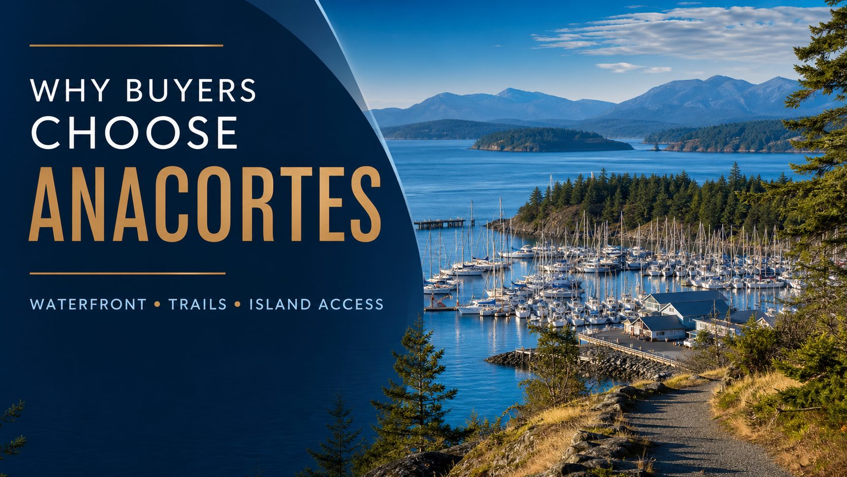
Marinas, shoreline parks, boating access and views toward nearby islands give Anacortes a distinctly coastal character. Access and exposure still vary considerably by address.
The Anacortes Community Forest Lands encompass more than 2,950 acres of forests, wetlands, lakes and meadows within the city, with an extensive network of recreational trails.
Anacortes is on Fidalgo Island but has a direct road connection to the mainland. The Washington State Ferries terminal provides separate access to the San Juan Islands.
Builder registration and buyer-representation policies vary. Involve your broker before or during the first community, sales-office or model-home visit.
Review completion timing, deposits, financing incentives, escalation provisions, included finishes, landscaping, change orders and warranty terms.
New construction is not the same as independently inspected construction. Discuss appropriate inspections, correction lists and final walkthroughs.
Fidalgo Island connects directly to the mainland by road. SR 20 links Anacortes with the Skagit Valley, Interstate 5 and communities across northwest Washington without requiring a ferry.
The Anacortes terminal serves the San Juan Islands. Buyers who expect to use the route should review current schedules, reservations, vehicle wait times and seasonal traffic.
Island Health provides hospital, primary-care and specialty services in Anacortes. Buyers with specialized-care needs should compare current providers and regional travel requirements.
Review current services through Island Health →
It can mean either. This page separates active new-construction listings from the broader active Anacortes inventory, which includes newly listed and move-in-ready homes.
Availability changes, but active new-construction listings can be found through the focused search on this page. Confirm completion timing, included finishes and builder terms with your broker.
Yes. Anacortes is on Fidalgo Island, which has a direct road connection to the mainland. A ferry is not required for normal mainland travel.
A search may include homes inside the city and properties in the broader 98221 area. Verify city or county jurisdiction, utility service and permitting authority for each address.
All are possible within the broader search area. City-served properties may have municipal utilities, while some properties outside those systems use wells, septic systems or other service arrangements.
Review shoreline rules, bluffs, steep slopes, drainage, weather exposure, insurance, access, tree growth and the development potential of nearby parcels.
Buyers should discuss independent inspections and final walkthroughs with their broker and inspector. A newly built home is not automatically the same as an independently inspected home.
Browse active listings or ask Windermere Whidbey for help comparing properties, locations and purchase considerations.

Explore new homes for sale in Oak Harbor, WA, including new construction, recently listed homes and move-in-ready properties in the largest city on Whidbey Island.
Start with current listings, then compare neighborhoods, utilities, NAS Whidbey aircraft activity, off-island travel and other details that can materially affect your decision to buy a home in Oak Harbor.
Buyers use the phrase in several ways. Separating the options makes the search more useful and reduces time spent sorting through properties that do not match your timing or goals.
Newly completed or actively marketed builder homes, including homes that may be ready now and properties still under construction.
Existing or recently built properties that have newly entered the market. The primary search is sorted so newer activity rises.
Homes of any age that may meet a buyer’s condition and timing requirements without waiting for a construction schedule.
These links use live Windermere Whidbey search filters and exclude pending listings. Confirm important features and location details for each property.
The best search starts with how you want the property and location to function—not simply a neighborhood name.
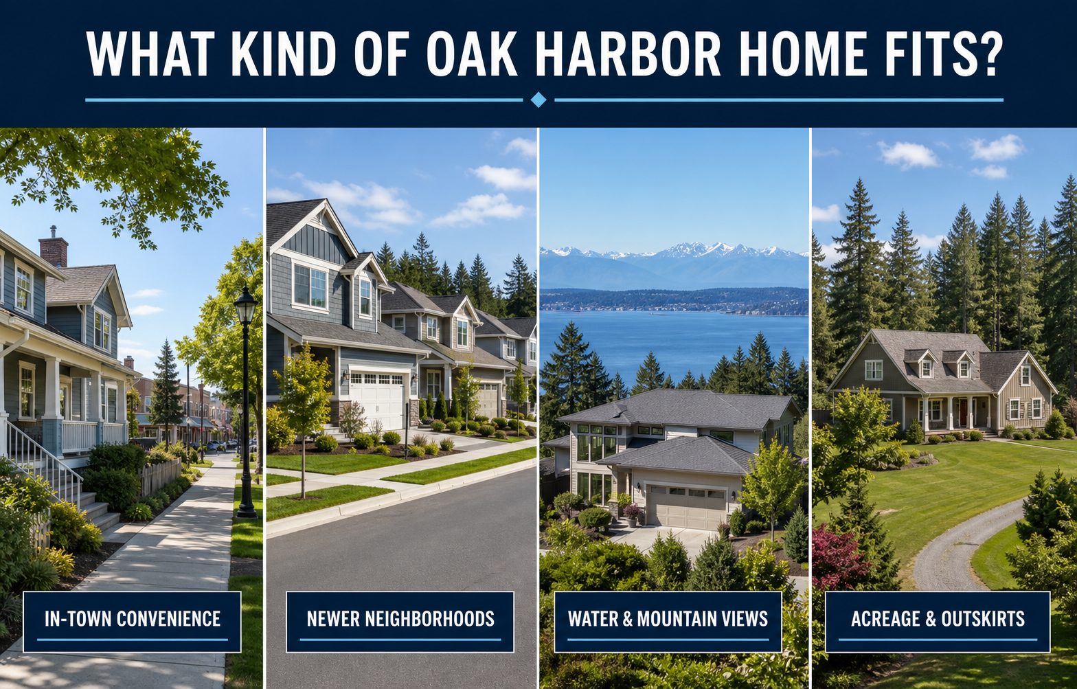
Homes in the compact city offer more direct access to shopping, schools, parks, medical offices and the waterfront. Compare traffic, lot size, parking and the exact utility connections.
Newer subdivisions and active construction appear around the west and southwest sides of the city. Compare builder terms, completion status, lot orientation, nearby development and commute routes.
The north side can be convenient for NAS Whidbey Island and SR 20. Aircraft activity varies by location, so review the applicable disclosure and experience the area at different times.
View direction, tree growth, neighboring parcels, weather exposure, bluff conditions and shoreline rules can matter as much as the view shown in listing photos.
Larger or more wooded properties outside the compact city may use wells, septic systems, private roads or shared maintenance agreements. Travel time and broadband should be checked at the address.
An Oak Harbor mailing address or IDX search can include property outside incorporated city limits. Verify jurisdiction, zoning, utilities and permitting authority for every address.
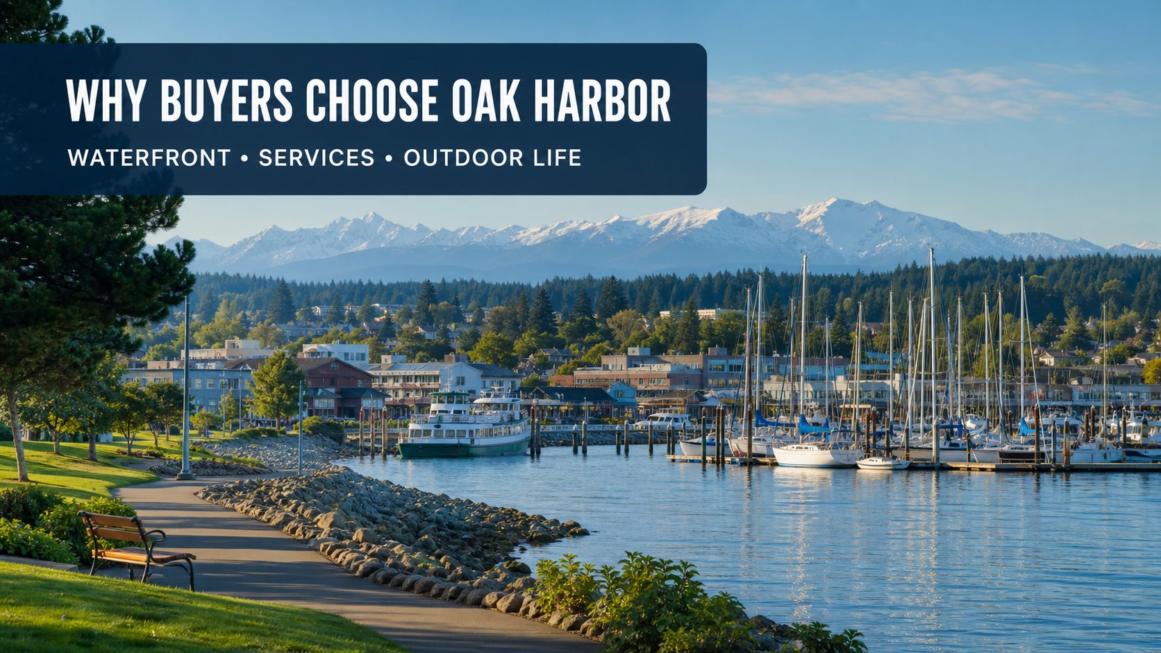
Oak Harbor has the island’s largest concentration of shopping, schools, medical offices and daily services, while retaining a manageable small-city scale.
The city provides more than 30 parks, public shoreline, a marina and waterfront trails, with Deception Pass and other North Whidbey destinations nearby.
SR 20 crosses Deception Pass to the mainland, while ferry routes connect Whidbey with Mukilteo and Port Townsend. Wind, salt exposure and winter travel conditions still matter.
Homes sharing the same mailing city can have very different utility, access, maintenance and regulatory considerations.
Builder registration and buyer-representation policies vary. Involve your broker before or during the first community or model-home visit.
Review completion timing, deposits, financing incentives, escalation provisions, included finishes, landscaping and warranty terms.
New construction is not the same as independently inspected construction. Discuss appropriate inspections and final walkthroughs.
SR 20 crosses Deception Pass and provides Oak Harbor’s direct road connection toward Fidalgo Island, Anacortes and the mainland. Bridge work, collisions and seasonal traffic can affect travel time.
Trips toward Seattle commonly use SR 20 north or the Clinton–Mukilteo ferry to the south. The Coupeville–Port Townsend route provides Olympic Peninsula access and accepts vehicle reservations.
WhidbeyHealth Medical Center in Coupeville is the island’s critical-access hospital, with additional services across Whidbey. Buyers with specialized-care needs should compare current providers and off-island travel requirements.
It can mean either. This page separates active new-construction listings from the broader active Oak Harbor inventory, which includes newly listed and move-in-ready homes.
A search may include in-town neighborhoods, newer west and southwest developments, north-side properties and homes outside incorporated city limits that use an Oak Harbor mailing address. Verify jurisdiction and utilities for each address.
Availability changes, but active new-construction listings can be found through the focused search on this page. Confirm completion timing, included finishes and builder terms with your broker.
All are possible within the broader search area. City-served properties may have municipal water, sewer and stormwater services, while some properties outside those systems use wells or septic.
Review the applicable airport-environs or aircraft-noise disclosure and official AICUZ information. When practical, visit the property at different times because aircraft activity and perceived noise vary by location and schedule.
SR 20 crosses Deception Pass to the north. Ferry routes connect Clinton with Mukilteo and Coupeville with Port Townsend; the Coupeville–Port Townsend route accepts vehicle reservations.
Buyers should discuss independent inspections and final walkthroughs with their broker and inspector. A newly built home is not automatically the same as an independently inspected home.
Browse active listings or ask Windermere Whidbey for help comparing properties, locations and purchase considerations.

Explore new homes for sale in Port Townsend, WA, including new construction, recently listed homes and move-in-ready properties in and around this historic Olympic Peninsula seaport.
Start with current listings, then compare location, utilities, historic-property considerations, ferry access and other details that can materially affect your decision to buy a home in Port Townsend.
Buyers use the phrase in several ways. Separating the options makes the search more useful and reduces time spent sorting through properties that do not match your timing or goals.
Newly completed or actively marketed builder homes, including homes that may be ready now and properties still under construction.
Existing, historic or recently built properties that have newly entered the market. The primary search is sorted so newer activity rises.
Homes of any age that may meet a buyer’s condition and timing requirements without waiting for a construction schedule.
These links use live Windermere Whidbey search filters and exclude pending listings. Confirm important features and location details for each property.
The best search starts with how you want the property and location to function—not simply a neighborhood name.
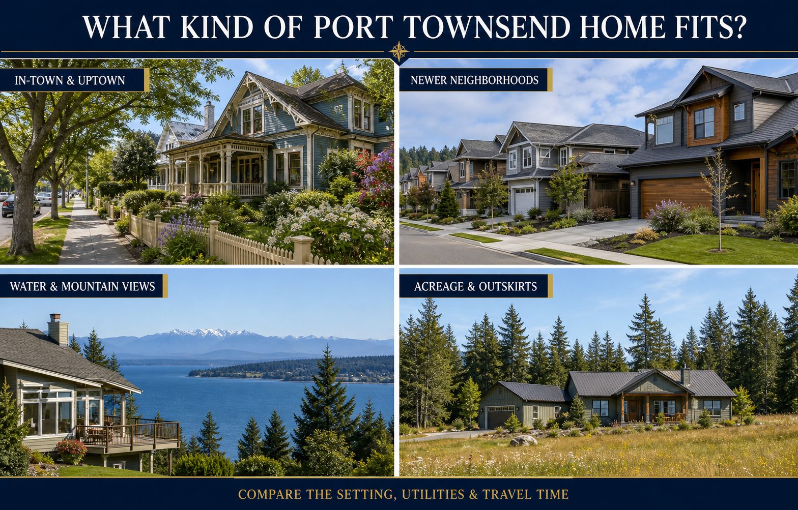
These areas can provide more direct access to shops, restaurants, galleries, services and the waterfront. Buyers should compare parking, stairs, lot size and historic-property considerations.
The western side of town includes newer homes and active construction. Compare builder terms, completion status, lot orientation, nearby development and transportation routes.
Buyers may prioritize access to trails, beaches and Fort Worden. Review wind exposure, bluff or shoreline conditions and the property’s exact utility connections.
View direction, tree growth, neighboring parcels, weather exposure and steep-slope conditions can matter as much as the view shown in listing photos.
Larger or more wooded properties may use wells, septic systems, private roads or shared maintenance agreements. Travel time and broadband should be checked at the address.
A Port Townsend mailing address or IDX search can include property outside incorporated city limits. Verify jurisdiction, zoning, utilities and permitting authority for every address.
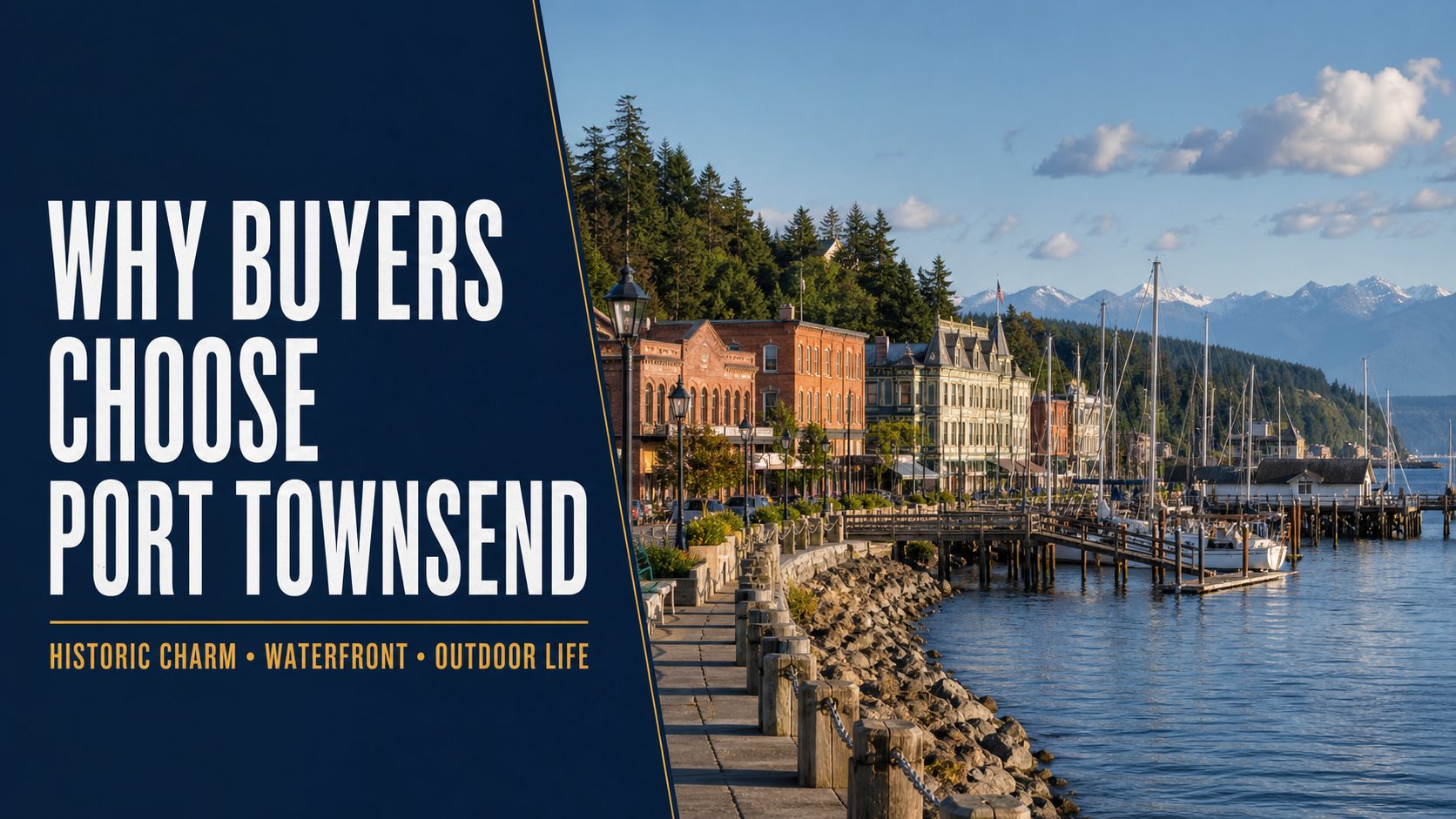
Port Townsend combines preserved architecture, a working waterfront and a compact commercial core. That character can also introduce special maintenance and permitting questions.
Beaches, parks, Fort Worden, boating and nearby Olympic Peninsula destinations create many ways to spend time outside without giving Port Townsend a large-city scale.
Port Townsend lies in the Olympic rain shadow and is comparatively dry for Western Washington. Coastal wind, salt exposure, winter clouds and property-level microclimates still matter.
Homes sharing the same mailing city can have very different utility, access, maintenance and regulatory considerations.
Builder registration and buyer-representation policies vary. Involve your broker before or during the first community or model-home visit.
Review completion timing, deposits, financing incentives, escalation provisions, included finishes, landscaping and warranty terms.
New construction is not the same as independently inspected construction. Discuss appropriate inspections and final walkthroughs.
The route connects Port Townsend with Whidbey Island. Vehicle reservations are strongly recommended, and weather or service disruptions can affect travel plans.
Trips toward Seattle may involve the Hood Canal Bridge, Kitsap Peninsula and a ferry or an all-road route. Traffic, bridge openings and ferry queues can change travel time.
Jefferson Healthcare operates a hospital and medical services in Port Townsend. Buyers with specialized-care needs should compare current providers and regional travel requirements.
It can mean either. This page separates active new-construction listings from the broader active Port Townsend inventory, which includes newly listed and move-in-ready homes.
A search may include Downtown, Uptown, north-side and west-side neighborhoods plus properties outside incorporated city limits that use a Port Townsend mailing address. Verify jurisdiction and utilities for each address.
Availability changes, but active new-construction listings can be found through the focused search on this page. Confirm completion timing, included finishes and builder terms with your broker.
All are possible within the broader search area. City-served properties may have municipal water, sewer and stormwater services, while some properties outside those systems use wells or septic.
They can. Buyers should evaluate condition, prior alterations, electrical and plumbing systems, foundations, insurance and any preservation or permitting requirements that apply to the property.
The ferry provides a useful connection to Whidbey Island, but vehicle reservations are strongly recommended. Weather, vessel availability and seasonal demand can affect schedules and wait times.
Buyers should discuss independent inspections and final walkthroughs with their broker and inspector. A newly built home is not automatically the same as an independently inspected home.
Browse active listings or ask Windermere Whidbey for help comparing properties, locations and purchase considerations.

Explore new homes for sale in Sequim, WA, including new construction, recently listed homes and move-in-ready properties across Sequim and the surrounding Dungeness Valley.
Start with current listings, then compare property settings, utilities, travel and other details that can materially affect a purchase.
Buyers use the phrase in several ways. Choosing the right interpretation makes the search more relevant and reduces time spent sorting through properties that do not match the plan.
Newly completed or actively marketed builder homes, including properties that may be ready now and homes still under construction.
Existing or newly built properties that have recently entered the market. The primary search is sorted by days on the system, so newer activity rises.
Homes of any age that may meet a buyer’s condition and timing requirements without waiting for a construction schedule.
These links use the live Windermere Whidbey property-search filters and exclude pending listings. Confirm important property features before relying on a listing description.
The best search starts with how you want the property to function—not simply a neighborhood name.

Homes within or near the city can provide more direct access to shops, clinics, parks and municipal services. Lots are often more compact than rural properties.
This area includes established homes, newer development and access toward Port Angeles. Confirm whether a property is within city limits, the Carlsborg growth area or unincorporated county land.
Buyers will find planned communities, rural parcels, farmland and coastal-influenced settings. Review HOA documents, utilities, wind exposure and flood information for the individual property.
Elevated properties may offer mountain, valley or water views. Slope, drainage, winter access, private roads and utility availability deserve closer review.
This side of the search area includes wooded, bay-adjacent and rural properties. Compare drive time, water and septic systems, shoreline conditions and access to everyday services.
A Sequim mailing address or IDX search can cover a substantially larger area than the City of Sequim. Verify jurisdiction, utilities, zoning and travel time for every address.

Sequim sits in the Olympic Mountains’ rain shadow and receives substantially less precipitation than many nearby areas. That does not eliminate winter clouds, fog, wind or microclimates.
The Dungeness area, Olympic Discovery Trail, Sequim Bay and the wider Olympic Peninsula create opportunities for walking, cycling, birding, boating and day trips.
Sequim provides shopping, local services and several medical clinics. Hospital and 24-hour emergency services are in Port Angeles, which matters when comparing locations.
Two homes with the same city in their mailing address can have very different utility, access and maintenance considerations.
Builder registration and buyer-representation policies vary. Involve your broker before or during the first community visit.
Review completion dates, deposits, financing incentives, escalation provisions, included finishes and warranty terms.
New construction is not the same as independently inspected construction. Discuss appropriate inspections and walkthroughs.
Port Angeles is the regional location for Olympic Medical Hospital and its 24-hour emergency department. Travel time varies by property location and road conditions.
Trips toward Seattle commonly involve the Hood Canal Bridge and either the Bainbridge Island ferry or another regional route. Ferry waits, traffic and bridge openings can add time.
Clallam Transit provides service between Sequim and Port Angeles, with the Strait Shot continuing toward the Bainbridge ferry terminal. Check current schedules for expected trips.
It can mean either. This page separates active new-construction listings from the broader active Sequim inventory, which includes newly listed and move-in-ready homes.
A Sequim search may include the city plus surrounding areas such as Carlsborg, Dungeness, SunLand, Bell Hill, Sequim Bay and Blyn. Always verify the jurisdiction, utilities and exact travel time for an individual address.
Availability changes. Use the active new-construction search on this page, then confirm construction status, completion timing, included finishes and builder terms with your broker.
All three are possible. Utility arrangements vary by address, so buyers should verify the water source, sewer or septic system, records, capacity and ongoing costs during due diligence.
It is a Washington water-management rule affecting portions of the Dungeness watershed. Its effect depends on the property and proposed water use, so buyers considering a new well or future development should verify current requirements.
Travel is practical for planned trips but is not a fixed commute time. Routes generally involve the Hood Canal Bridge and either a ferry or a longer all-road option; traffic, ferry queues and bridge openings can change the trip.
Buyers should discuss independent inspections and final walkthroughs with their broker and inspector. A newly built home is not automatically the same as an independently inspected home.
Browse active listings or ask Windermere Whidbey for help comparing properties, settings and purchase considerations.

Image note: The visuals in this article are editorial guide images created to explain shore-based whale watching on Whidbey Island. They are not documentary photos from a specific place, event, business, property, or moment.
Whale watching from Whidbey Island’s shore is less about memorizing one “best” beach and more about learning how to use a moving sighting. Whales travel through Saratoga Passage, Admiralty Inlet, Possession Sound, Penn Cove, and nearby waterways on their own schedule. A report that was useful 20 minutes ago may point to a different viewing area now—or the whale may have changed direction or disappeared beneath the surface.
This guide explains how to follow current reports, read the water, choose a verified public viewpoint, use Langley’s Whale Bell, and share a useful sighting without promising that wildlife will appear on demand.
Orca Network’s community-based Whale Sighting Network gathers reports from the public, partner organizations, volunteers, and scientists. Reports are reviewed and cross-checked, creating records that support research, conservation work, and alerts to vessels in busy waterways.
Before leaving for the shoreline, check the latest sighting resources and Orca Network’s Public Viewpoints Map. Check the timestamp before anything else. Whales can cover considerable water, reverse direction, pause to feed, or remain submerged long enough to frustrate even experienced observers.
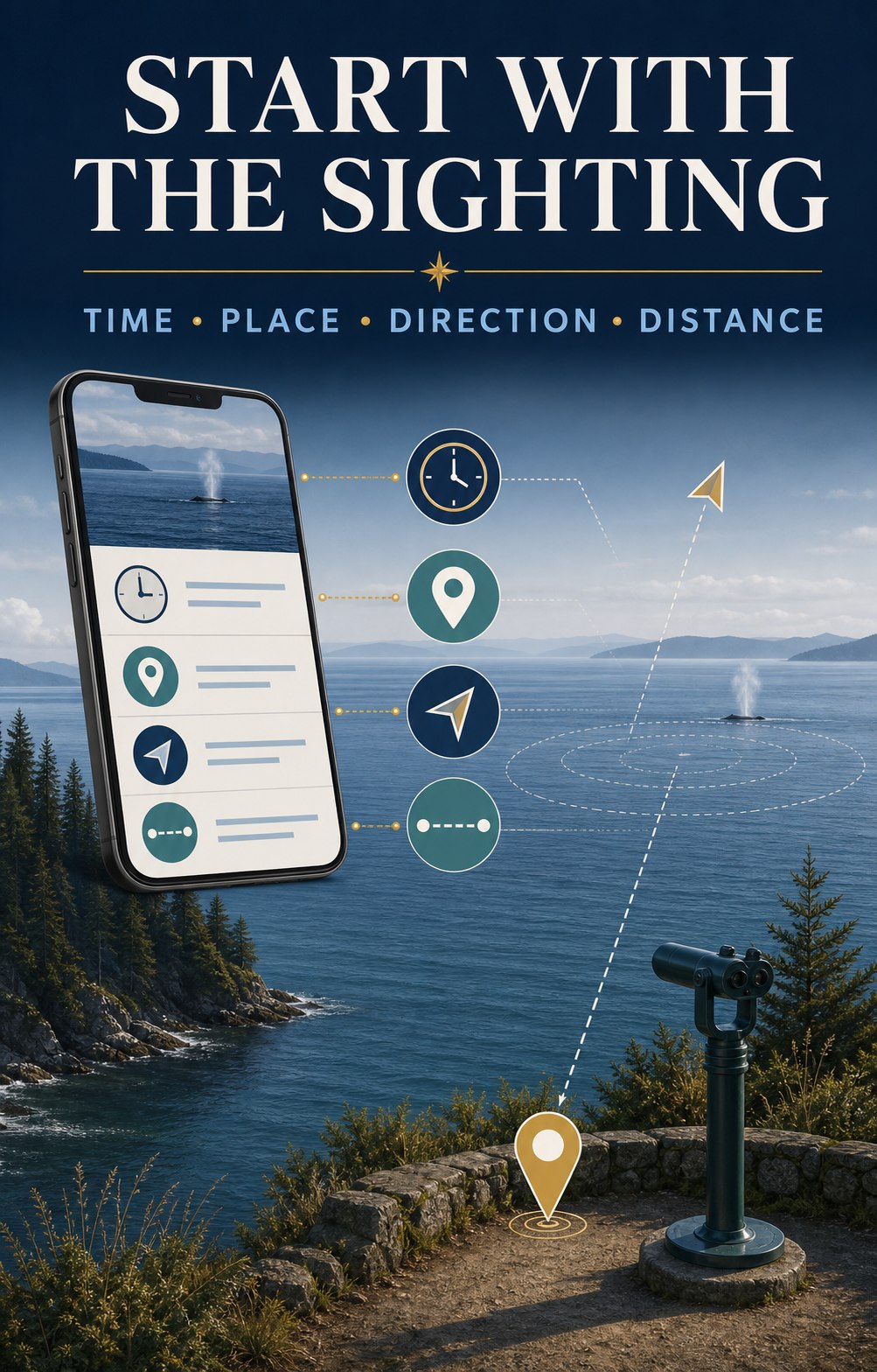
| Report detail | What it helps you decide |
|---|---|
| Time | Whether the report may still be actionable. |
| Place | Which waterway and public viewpoints make sense. |
| Direction | Where the whale may travel next if it maintains course. |
| Whidbey side, opposite shore, or mid-channel | Whether a shore view is realistic and which side offers the better angle. |
| Traveling, milling, or feeding | Whether movement may be steady or the whale may remain in one area. |
| Species or “unconfirmed” | What clues to watch for without forcing an identification. |
Illustrative example—not a live sighting:
“10:20 a.m.—two whales southbound past Sandy Point, Whidbey side of mid-channel, traveling steadily.”
The useful clues are the exact time, southbound direction, and position nearer Whidbey. A reader might consider a legal public viewpoint farther south, but only after checking travel time and current access. Do not race through neighborhoods or stop where parking is prohibited.
These are not ranked and none guarantees a whale. Match the waterway to the latest report, then confirm hours, parking, closures, and access on the official page before driving. For broader shoreline planning, use the Whidbey Island Beach Access Guide.
Langley is the island’s most complete shore-watching starting point because it combines a waterfront sightline, the Whale Bell, and a staffed educational resource nearby. The Langley Whale Center at 105 Anthes Avenue shares current sighting information, local tips, and exhibits about Salish Sea marine mammals. At the final July 2026 verification, its posted hours were Wednesday through Sunday, 11 a.m.–4 p.m.; hours vary seasonally, so check before visiting. You can also open the Langley Whale Center in Google Maps.
Nearby Whale Bell Park and Seawall Park overlook Saratoga Passage. Visit the Whale Bell Park page, view Whale Bell Park in Google Maps, or explore more of Langley.
When a current report places whales along South Whidbey’s west side or Admiralty Inlet, Bush Point can provide a useful public shoreline angle. Check the Port of South Whidbey facility page for current hours and access information, then use Google Maps for Bush Point. Remember that this is an active boat-ramp and fishing area; keep launch access clear.
Fort Casey offers broad shoreline and elevated sightlines across Admiralty Inlet. That can be useful when a report is distant or moving through the inlet, but binoculars may still be essential. Confirm park information with Washington State Parks and open Fort Casey in Google Maps. If you are making a day of Central Whidbey, use the Coupeville guide for nearby planning.
Reports from Possession Sound or the Clinton ferry approach may make Clinton Beach Park or Possession Beach Waterfront Park relevant. Both facilities can carry changing notices, so use the official pages immediately before visiting. For directions, open Clinton Beach Park or Possession Beach Waterfront Park in Google Maps.
Whale Bell Park sits near First Street and Anthes Avenue in downtown Langley. Its memorable instruction is simple: see a whale, ring the bell. The sound invites everyone nearby to turn toward Saratoga Passage and start looking.
The bell is a local signal, not a guarantee that the whale will remain visible. If you hear it, scan the water first and then ask the most useful questions: Where was the whale? Which direction was it moving? How long ago was it seen? Was it close to the Whidbey side, near the opposite shore, or mid-channel?
If you are the person ringing the bell, share the time, approximate position, direction, and number of animals. Name the species only when you are confident or when a qualified observer has confirmed it. “Unconfirmed whale” is more useful than a confident but incorrect identification.
A returning group of gray whales known as the North Puget Sound “Sounders” has historically detoured into the region to feed, especially during spring. Gray whales are baleen whales that often feed on small prey in bottom sediments. Their surfacing can show a low, mottled back, a heart-shaped or bushy blow in suitable conditions, and sometimes a tail before a deeper dive.
Recent patterns are less tidy than an old seasonal calendar suggests: some Sounders have arrived earlier, stayed longer, or appeared during winter. Orca Network also reports serious conservation concerns for eastern North Pacific gray whales. Give any whale plenty of space and use the current gray whale information rather than relying on a fixed month.
A tall dorsal fin can be striking even at a distance, but shore observers should be cautious about identification. Bigg’s killer whales and endangered Southern Resident killer whales are distinct populations with different diets and movement patterns. A distant fin alone may not tell you which population you are seeing. Look for a verified report before repeating an identification.
Humpback whales and other cetaceans can also move through the greater Salish Sea. Harbor porpoises, seals, and sea lions are more common supporting characters. Distance, glare, waves, and floating logs can fool the eye, so watch for repeated, coordinated movement before deciding that a dark shape is an animal.
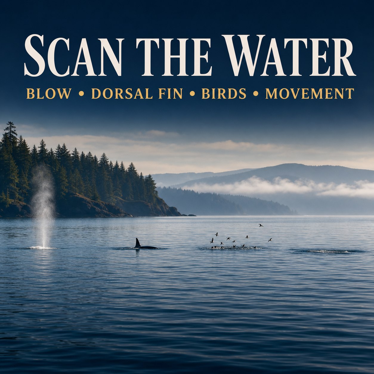
A useful report includes the date, exact time, location, direction of travel, estimated number of animals, observed behavior, and whether photographs are available. If you are unsure of the species, say so.
Submit your observation through Orca Network’s online whale-sighting report. These reports do more than help the next shore watcher: verified records support research and can help alert ferries and commercial vessels when whales are near busy waterways.
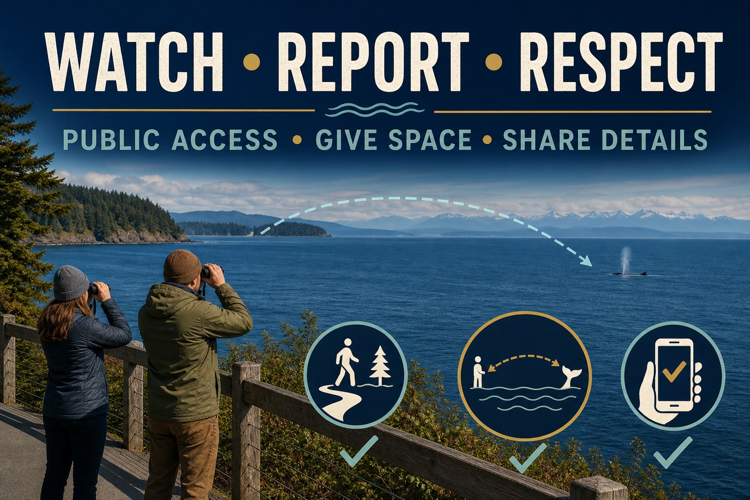
Spring is historically associated with North Puget Sound gray whales known as the Sounders, but recent arrival and departure patterns vary. Killer whales and other cetaceans may appear at different times. Current sighting reports are more useful than relying on one guaranteed season.
Whale Bell Park is near First Street and Anthes Avenue in downtown Langley, overlooking Saratoga Passage and close to Seawall Park and the Langley Whale Center.
Someone nearby has spotted a whale and is alerting others to look. Scan immediately, then ask where the whale was seen and which direction it was traveling. The bell does not guarantee the animal is still visible.
Start with Orca Network’s Whale Sighting Network, its recent reports, and its Public Viewpoints Map. The Langley Whale Center can also provide current sighting context and local tips during open hours.
It is possible to spot marine mammals from a ferry, but it is never dependable. Treat any sighting as a bonus, remain in authorized passenger areas, and do not let whale watching interfere with boarding, unloading, or crew instructions.
Many shore watchers find 8x or 10x binoculars practical. Start with your unaided eyes to locate movement, then use binoculars to confirm details. A stable stance matters as much as magnification.
Yes. Record the exact time, location, direction, estimated number of animals, behavior, and whether photos are available. Submit the details to Orca Network, and label the species unconfirmed when you are unsure.
Keep people and pets away, do not touch or attempt to move the animal, and report it through the NOAA West Coast Marine Mammal Stranding Network. Follow instructions from authorized responders.
Check the report, read the direction, use public access, and give the water time. Whether a whale surfaces or not, the process makes you more aware of the living waterways around Whidbey Island.
Continue planning with the Whidbey Island Beach Access Guide or Guide to Langley.
Information and public notices were last verified July 27, 2026. Wildlife activity, hours, access conditions, closures, and regulations can change. Check linked official sources before visiting.
Written by Si Fisher

Camping on Whidbey Island is less about finding the one “best” campground and more about choosing the right base for the kind of trip you want. North Whidbey puts you close to Deception Pass and an activity-rich state park setting. Central Whidbey offers coastal trails and quieter historic surroundings. South Whidbey has a practical near-town campground option for tent and RV travelers.
Use this guide to compare the main public campground choices, understand what to verify before leaving home, and avoid an easy mix-up: South Whidbey State Park is day-use only, not an overnight campground.
Image note: The visuals in this article are editorial guide images created to explain Whidbey camping planning. They are not documentary photos from a specific place, event, business, property, or moment.
Quick planning note: Campground availability, burn restrictions, route conditions, ferry service, and site details can change. Check the official campground page and live travel tools immediately before your trip.
Coming from the mainland? Start with the dedicated Whidbey ferry guide before you finalize your arrival plan.
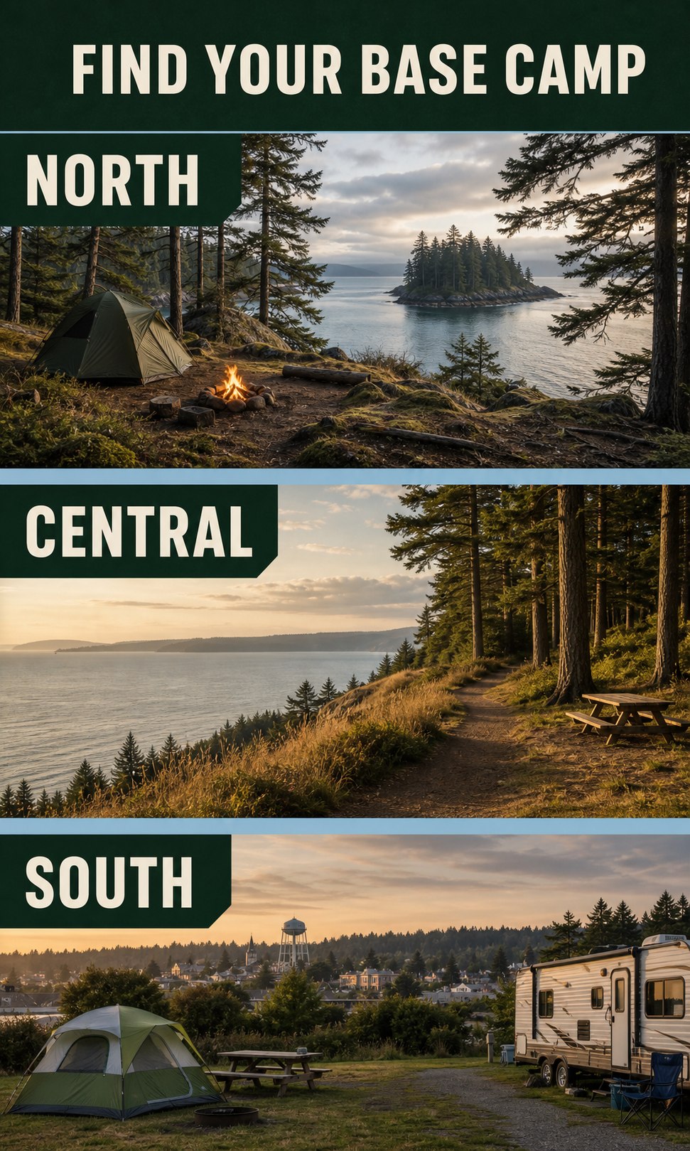
Best for campers who want forest, water, trails, beach exploration, and a full state-park base camp. It is the most activity-rich option of the three, so checking current alerts and site details matters.
Best for coastal views, wooded trails, military history, and an easy Central Whidbey base near Coupeville and Oak Harbor. It is a strong fit for a slower trip built around walking, beach time, and exploring nearby towns.
Best for tent or RV campers who want a practical near-town base close to Langley, with published hookups, showers, and easy access to South Whidbey errands, meals, and evening plans.
Deception Pass State Park is a natural choice when your camping trip centers on trails, shoreline, forest, freshwater, and saltwater access. The park lists camping, accessible campsites, restrooms, showers, drinking water, fire pits, and a trailer dump among its amenities.
It is also a place where current conditions matter. Before driving up, check the official park page for alerts, burn restrictions, trail or parking limitations, and the site information that applies to your tent, trailer, or RV. Do not assume a vehicle that fits one campground loop will fit every parking area or campsite.
Open Deception Pass State Park in Google Maps
Fort Ebey State Park is a coastal camping park with wooded trails, beach access, open views, and the distinctive atmosphere of a former military site. The park describes 25 miles of wooded trails, along with camping, showers, drinking water, accessible campsites, and nearby beach exploration.
One useful local detail belongs in your planning conversation: the official park page notes that NAS Whidbey training flights may create aircraft noise above the campground at various times. That will not bother every visitor, but it is worth knowing before choosing a site for a quiet reset.
If you are building a Central Whidbey itinerary, pair your stay with the local context in Your Guide to Coupeville and the practical shoreline details in the Whidbey Island Beach Access Guide.
Open Fort Ebey State Park in Google Maps
The Whidbey Island Fairgrounds Campground in Langley is currently identified by the Port of South Whidbey as the only public campground on South Whidbey. It is a practical choice when you want to camp without being far from town.
The campground lists 20 RV sites with power and/or water hookups, tent camping, private-shower bathrooms, a dump station, and online registration and payment. Its published 2026 rates are $25 per night for tent camping with a car, $40 for regular RV sites, and $50 for premium RV sites; always confirm rates, site availability, event-period conditions, and rules directly with the campground before booking.
For a South Whidbey stay, the location can make it easier to add a meal, harbor stroll, or village stop without turning the trip into a long drive. Explore the broader local context in the Guide to Langley.
Open Whidbey Island Fairgrounds Campground in Google Maps

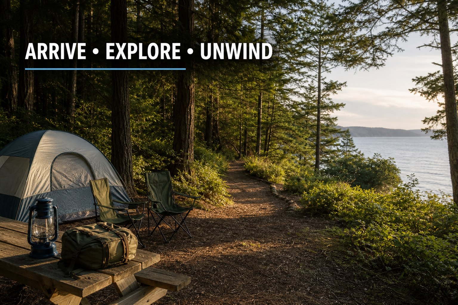
Day 1: Arrive and settle in. Keep the first afternoon simple. Set up camp, take a nearby short walk, and learn the immediate layout before trying to fit in a major island outing.
Day 2: Choose one anchor adventure. Make one park, trail, beach, town, or water activity the center of the day. Whidbey feels better when there is time for detours, weather changes, and a slower meal.
Day 3: Leave room for the return trip. Check ferry status or your northbound route before packing up. A final short walk or nearby shoreline stop is usually a better finish than overloading the last morning.
A camping trip is one of the best ways to notice the practical rhythms that a quick day trip can hide: travel distances, morning fog, evening quiet, park access, nearby services, ferry timing, and the pace that feels right for your household. If a weekend here starts to feel like more than a getaway, explore homes for sale on Whidbey Island when it is useful—not as a substitute for spending time in the places that fit your life.

July is one of those months when Whidbey Island feels wonderfully full. Fireworks kick things off, outdoor concerts settle into the parks, Bayview turns into a dance floor, gardens hit their summer stride, and the Whidbey Island Fair brings the whole island together before the month is done.
Use this guide as a starting point for July 2026 plans, then check the linked organizers before you go. Event details can change with weather, ferry timing, ticket availability, and venue updates.

The first weekend of July is packed from Oak Harbor to Freeland and Langley. If you are crossing by ferry, give yourself extra time, especially around July 3-5.
Friday, July 3. Festival activities begin in the afternoon, with fireworks after dark at Freeland Park.
July 3-5. Oak Harbor’s waterfront celebration includes carnival fun, community events, parade activity, and fireworks around Windjammer Park.
Friday, July 3. The Chum Run starts holiday weekend in Oak Harbor with a 5K and family-friendly Fry Run.
Also watch for July 4 weekend art and music in Langley, including the Whidbey Art Gallery Art Walk, Troy Chapman & The Groovetones at WICA, and TAMA Festival music at The Top Restaurant & Lounge.

If July has a soundtrack, much of it is free and outdoors. South Whidbey, Bayview, and Coupeville all have reliable summer music options this month.
The South Whidbey Parks and Recreation series runs Tuesdays from 6-7:30 PM at South Whidbey Community Park.
Goosefoot’s Bayview Corner Street Dances are free, family-friendly, and held from 6-8 PM at the Bayview Cash Store.
On Sunday, July 19, from 2-4 PM, Ike and the Old Man play the Coupeville Summer Concert Series at Coupeville Town Park Pavilion. See event details.

The Whidbey Island Fair returns to the Whidbey Island Fairgrounds and Events Center in Langley from Thursday, July 23, through Sunday, July 26. Expect rides, food vendors, exhibits, livestock, crafts, entertainment, and the kind of hometown fair energy that belongs on a summer calendar.
The fair parade is listed for Saturday, July 25. Check the fair’s official site before you go for tickets, gate hours, entertainment, parking, and parade-route updates.

Presented by the LittleBIGFest team, the Whidbey Island Guitar Festival lands on Sunday, July 26, at Royal Alvin Hall in Freeland.
The posted lineup includes Troy Chapman + Honza Kourimsky, Keith Bowers, Andre Feriante, Tyler Richart, Elisabeth Brown, Charlie Solbrig, and Nick Mardon. See the lineup.

July is also a strong month for indoor stages, outdoor theatre, gallery nights, and local music rooms.
Island Shakespeare Festival’s 2026 summer season runs July 17-Sept. 6 with Macbeth and Robin Hood of Sherwood Forest.
Watch WICA for Troy Chapman & The Groovetones, Nearly Dan, Vinyl Cabaret, Treasure Island, and Different Mistakes during July.
Heavenly Harmonies is listed for July 10 at Nordic Hall and July 11 at St. Augustine’s in-the-Woods.


Meerkerk Gardens lists guided forest walks on July 5 and July 19, with summer garden tours on July 11 and July 25.
The 30th anniversary Whidbey Island Garden Tour is listed for Saturday, July 18, with private gardens and proceeds supporting local causes.
Look for July markets in Oak Harbor, Bayview, Coupeville/Central Whidbey, and South Whidbey. Schedules vary by market and day.

Local July calendars also include library programs, author talks, civic forums, food-and-wine events, and community gatherings. Here are a few more picks that may be useful for a broad July roundup.
| Date | Event | Where | Notes |
|---|---|---|---|
| July 2 | Mocktails & Masterpieces | Langley Library | Check Sno-Isle before you go. |
| July 3 | Poetry Open Mic Night | Commons Cafe & Books | Local community arts pick. |
| July 7 and 14 | Island County Candidate Forums | Clinton Community Hall | Local civic forum. |
| July 9 | Freedom to Read Panel | Clinton Community Hall | Community conversation. |
| July 10 | Blind Date with a Book | The Barnyard, Freeland | Library and books event. |
| July 11 | Kick It at the Library | Langley Library | Sno-Isle listing. |
| July 14 | Welcome to Medicare | Freeland Library | Community learning event. |
| July 15 | Connecting Through Crafts | Freeland Library | Library community event. |
| July 16 | Kicking Gas dinner, panel, and book talk | Clinton Community Hall | Sustainability and community event. |
| July 18 | Jewelry Job Escape Room | Langley Library | Sno-Isle listing; verify session times. |
| July 19 | Kick It: Soccer Watch Party | Freeland Library | Family and youth event. |
Events are a good way to understand Whidbey’s different communities. A concert in Langley, a fair weekend at the fairgrounds, a garden walk in Greenbank, or a market morning in Oak Harbor can tell you a lot about the daily rhythm of island life.
Meet a local Windermere Whidbey agent | See our active listings | Search Whidbey properties

Two of the events people often ask about are technically August events, but they belong on your July radar because tickets, lodging, ferry planning, and weekend schedules can move quickly.
Saturday, August 8, noon-4 PM. Meerkerk Gardens hosts bluegrass at the gazebo with Ricky Gene Powell and the Boys of Greenwood Glen and Salish Moon.
August 14-16. LittleBIGFest returns to Langley for three days of live music, vendors, food, and family-friendly festival energy.
Major July highlights include Freeland Freedom Fest & Fireworks on July 3, Oak Harbor Independence Day weekend events, South Whidbey Tuesday Concerts in the Park, Bayview Corner Street Dances, the Whidbey Island Fair from July 23-26, and the Whidbey Island Guitar Festival on July 26.
Yes. South Whidbey Tuesday Concerts in the Park are listed for July 7, July 14, and July 21 at South Whidbey Community Park. Bayview Corner Street Dances are listed for July 8 and July 22 at Bayview Cash Store, and Coupeville’s Summer Concert Series has a July 19 concert at Coupeville Town Park Pavilion.
The Whidbey Island Fair is scheduled for Thursday, July 23, through Sunday, July 26, 2026, at the Whidbey Island Fairgrounds and Events Center in Langley. Check the official fair website before you go for tickets, hours, entertainment, parking, and parade updates.
LittleBIGFest itself is scheduled for August 14-16, 2026, but it is worth planning for in July. The LittleBIGFest team also presents the Whidbey Island Guitar Festival on Sunday, July 26, at Royal Alvin Hall in Freeland.
The Meerkerk Bluegrass Festival is scheduled for Saturday, August 8, 2026, from noon to 4 PM at Meerkerk Gardens in Greenbank. Because tickets and summer plans can move quickly, it is a good event to put on your July planning list. Check Meerkerk’s festival page for ticket and event details.
Yes. Whidbey summer events can change because of weather, venue updates, ticket availability, staffing, or ferry-related travel timing. Use the linked organizer pages as the final source before you leave.
Written by Si Fisher.


Want to join the Windermere Team?
Click here for Freeland / Langley
Windermere Real Estate/South Whidbey

© 2026 Windermere real estate